— — — — —
— — — — —
— — — — —
— — — — —
— — — — —
— — — — —
— — — — —
— — — — —
This is an old revision of the document!
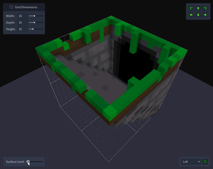
The surface level setting, located in the bottom left corner of the Voxel Editor viewport, allows you to define the height of a tile's surface or ground. This height is used by the Map Editor (and the Add Tile scripting function) when placing the tile into a map and provides a way to vertically align a set of related tiles more easily.
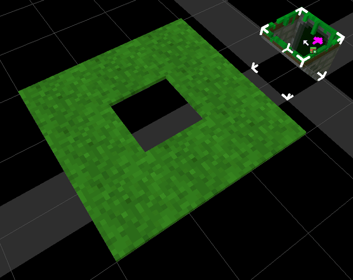
For example, the dungeon entrance tile shown above is having its surface level set to the height of the grass at the top of the stairs. Normally you would need to adjust the grid downward when placing the dungeon entrance after the grass has been placed, but now when placed into a map the tile itself will be automatically adjusted downward so that the top aligns with the adjacent grass tiles. This helps minimize the need for manual grid adjustments when placing related tiles next to each to other that need to have their surfaces aligned.