— — — — —
— — — — —
— — — — —
— — — — —
— — — — —
— — — — —
— — — — —
— — — — —
This is an old revision of the document!
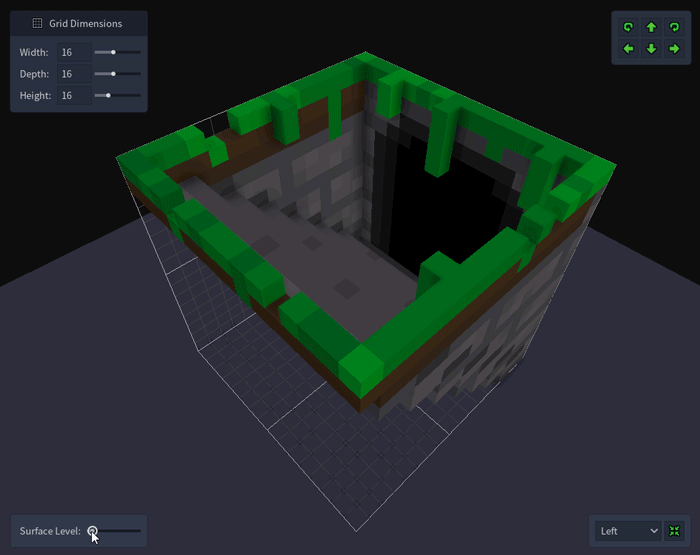
The surface level setting, located in the bottom left corner of the Voxel Editor viewport, allows you to define the height of a tile's surface or ground. This height is used by the Map Editor (and the Add Tile scripting function) when placing the tile into a map and provides a way to vertically align a set of related tiles more easily.